A New Way to See All Matter

Creating breakthrough sensors and AI that reveal the molecular composition, temperature, and structure of the physical world.
Request Early AccessCurrent sensors capture just three colors. Matter's ultraspectral sensor sees chemistry across 2,000 spectral bands—from deep UV to thermal infrared.
This is the final frontier in optical imaging. Seeing reality at extreme spectral resolution allows AI to perceive the world at a chemical level.
.png)
Matter’s ultraspectral sensors decode the world’s chemistry in real time. Each pixel captures spectral fingerprints invisible to the human eye, transforming raw material signals into molecular intelligence. Matter’s ultraspectral sensor reads those signatures, creating a new data layer for intelligent systems.This is the foundation for machines that perceive and reason about the physical world like scientists, not cameras.
Matter is rebuilding the vision stack for the era of artificial intelligence.
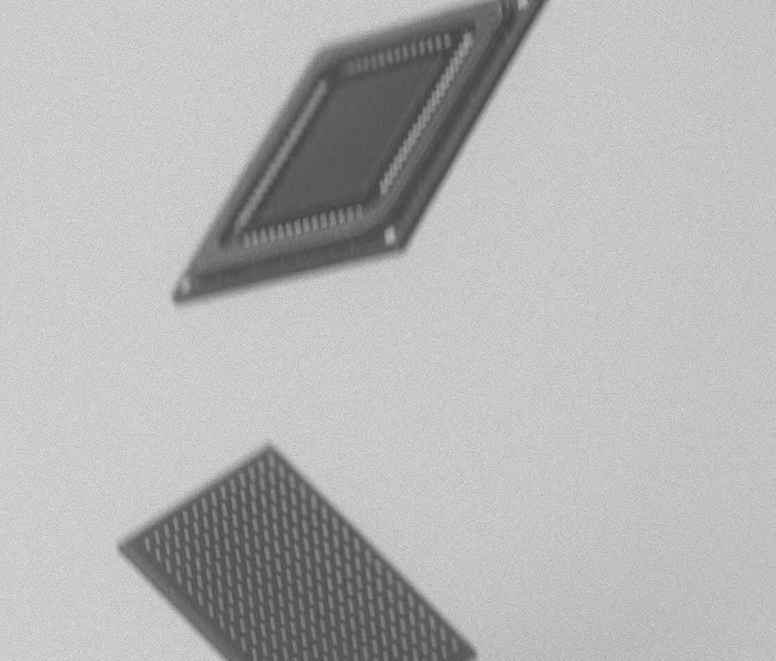
New
Sensors
Matter’s ultraspectral sensors move from 3 channels to 2000, capturing chemistry, composition, and molecular change.
Compute
Custom chips now enable real time processing of massive spectral datasets at the edge.
Models
Large Geospatial Models (LGM) can finally reason over this new data, just as large language models transformed text.
Matter's sensor captures the complete spectral signature of every material - revealing chemical composition, temperature gradients, and physical properties invisible to traditional imaging.

Ultraspectral data eliminates the fundamental limitations of RGB imaging. Our sensors detect molecular fingerprints that enable AI to identify materials, predict failures, and understand the physical world with unprecedented precision.
.avif)
From satellites in orbit to drones monitoring infrastructure to robots in factories, Matter's sensor platform scales across every domain where understanding material reality matters.
Vision infrastructure for the future

